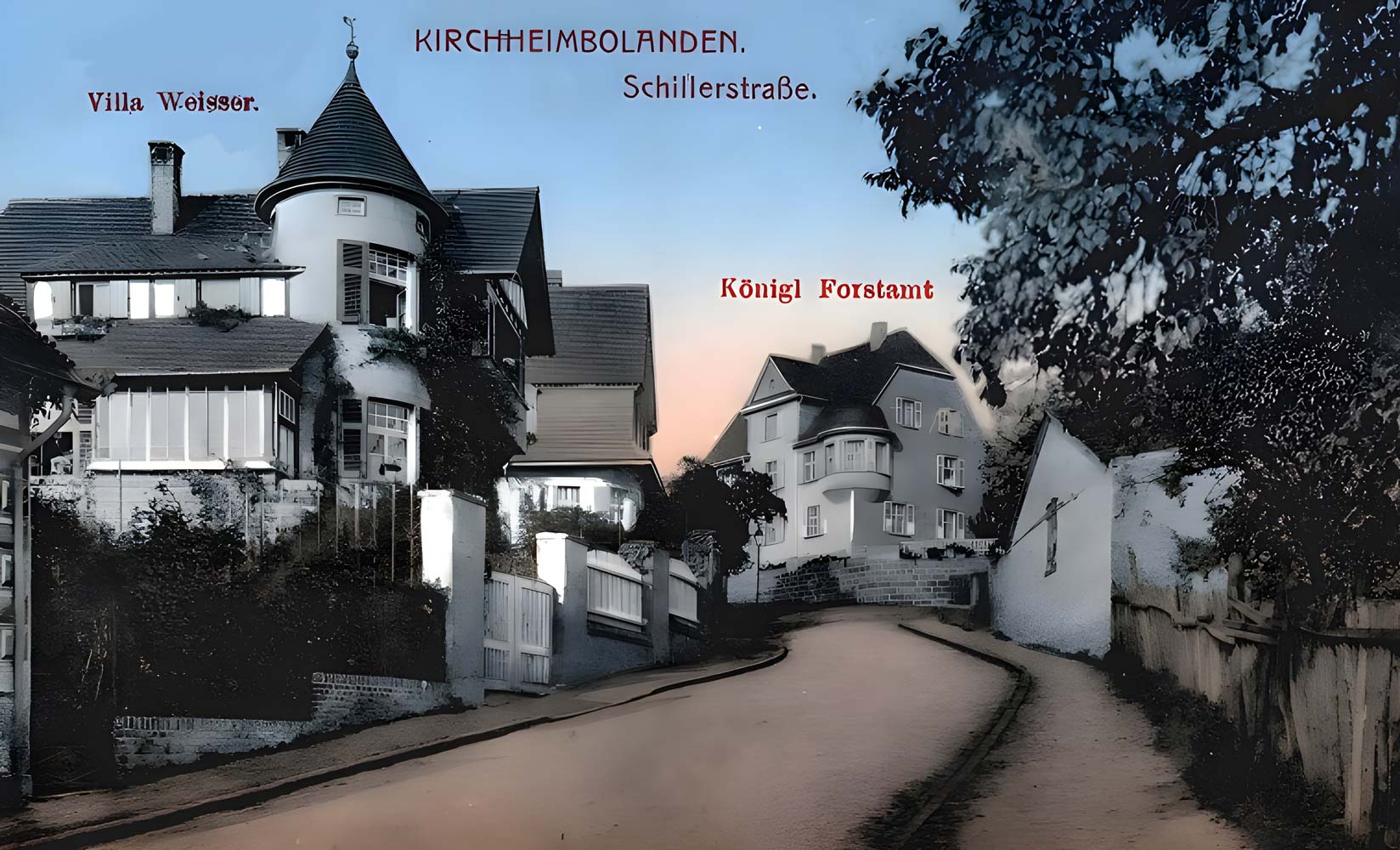
Schillerstrasse
The right of fortification from 1368
From Schillerstraße, you have an impressive view of the medieval town fortifications. Here you can see how extensively Count Heinrich II von Sponheim (reigned 1350-1393) implemented the town charter of Emperor Charles IV from 1368. Among other things, it stipulated that he [Heinrich] sin Dorff Kircheim […] mit Buwen [Gebäuden], Muren [Mauern], Graben, Turnen [Türmen], Pforten, Erckern und anders wie er will vesten [befestigen] muge und eine Stat daraus machen ewiglich.
This privilege not only led to the construction of an 850 m long city wall [Standort 07] and the building of fortification towers, gates [locations 01, 05, 08, 13, 19] and a kennel area, but also an additional watchtower on the Schillerhain [Standort 15].
Around 210 m of the city wall in the area of the Red and Grey Towers have been preserved or restored since the 1960s as part of the urban redevelopment [sites 05, 07, 08].

This section of the town wall provides a vivid picture of the extensive fortification project. For Kirchheimbolanden, the fortification project offered a regional development opportunity during the late medieval urbanization phase.
Zwinger and moat
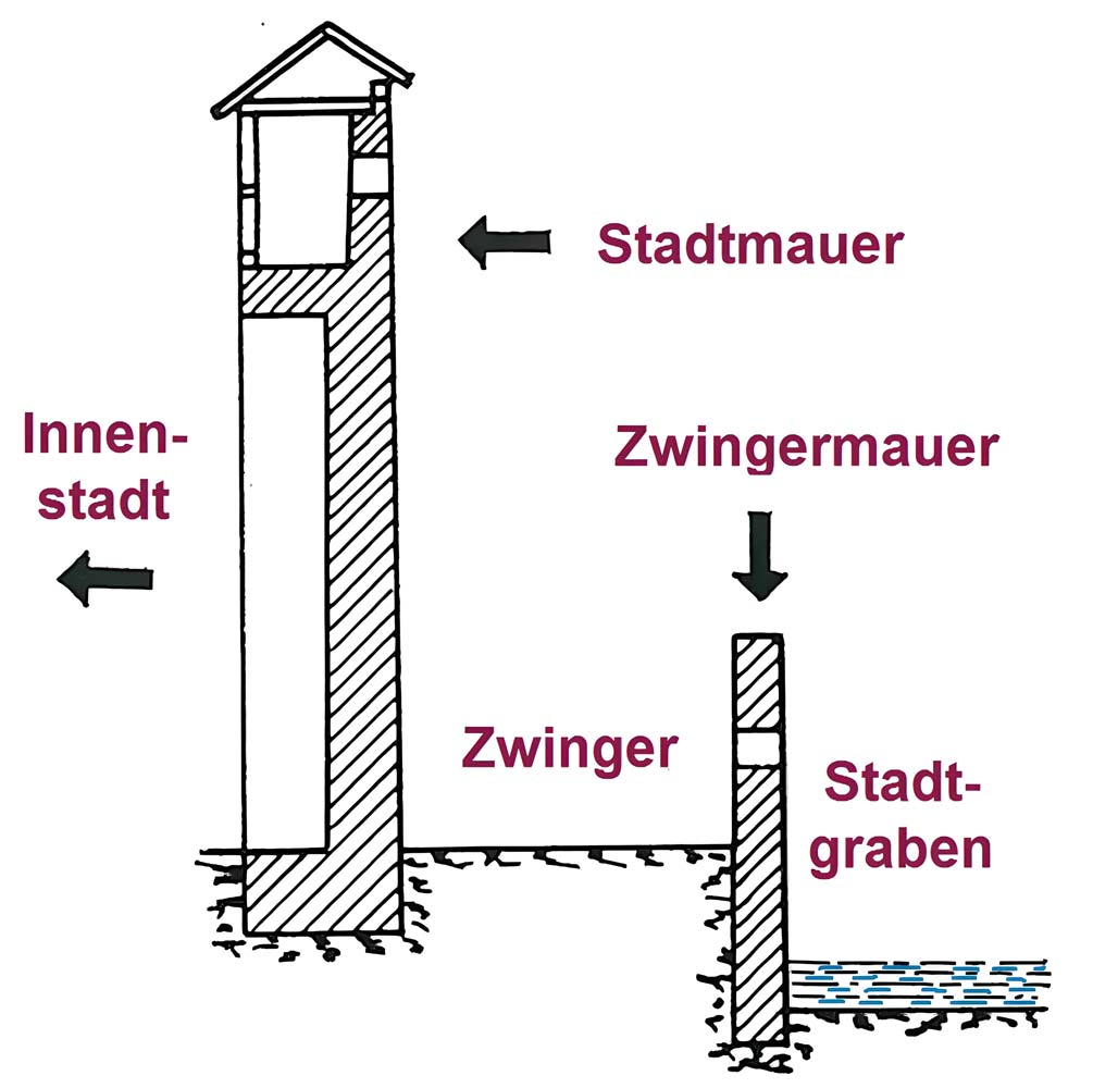
A Zwinger, the space between the city wall and moat, was part of a city’s defense strategy in the Middle Ages. Its purpose was to “squeeze in” potential attackers.
However, due to the relief conditions, the moat in front of the Zwinger was only filled with water in places, but was in any case marshland.
A section of the Zwinger wall has been preserved in front of the passageway (from Schillerstraße) to the square at the Grey Tower [Standort 08]. However, the picture is distorted by the fact that the floor of the Zwinger and moat are heavily infilled here. This is because the height of the outer wall above the floor of the Zwinger is around 2.50 m and around 5 m above the floor of the moat.
The town walls, kennels and moat thus provided “protection and shelter” for medieval Kirchheimbolanden.
This is also the meaning of the waiting tower on the Schillerhain.
Waiting tower
Before the name Schillerhain became established in the late 19th century, the hill to the west of Kirchheimbolanden was called Wartberg. This was because it was an extremely favorable location for what was known in medieval parlance as “warte = peering out, guard, sentry”. From the hill, one had a wide field of vision across the Rhine plain to the Odenwald.
Built in the late Middle Ages, the 11.25 m high watchtower can therefore be seen in the context of the Kirchheimboland town fortifications [Standort 07].
However, this phase ended after just a few years in 1815 and not only the further development of communications technology, but above all the development of the Schiller Grove into an imperial civic park led to a further rededication, which the tower still has today: as a place for close and distant geographical observation.
Around 1900, the Wartturm thus also became a motif for photographs and postcards.
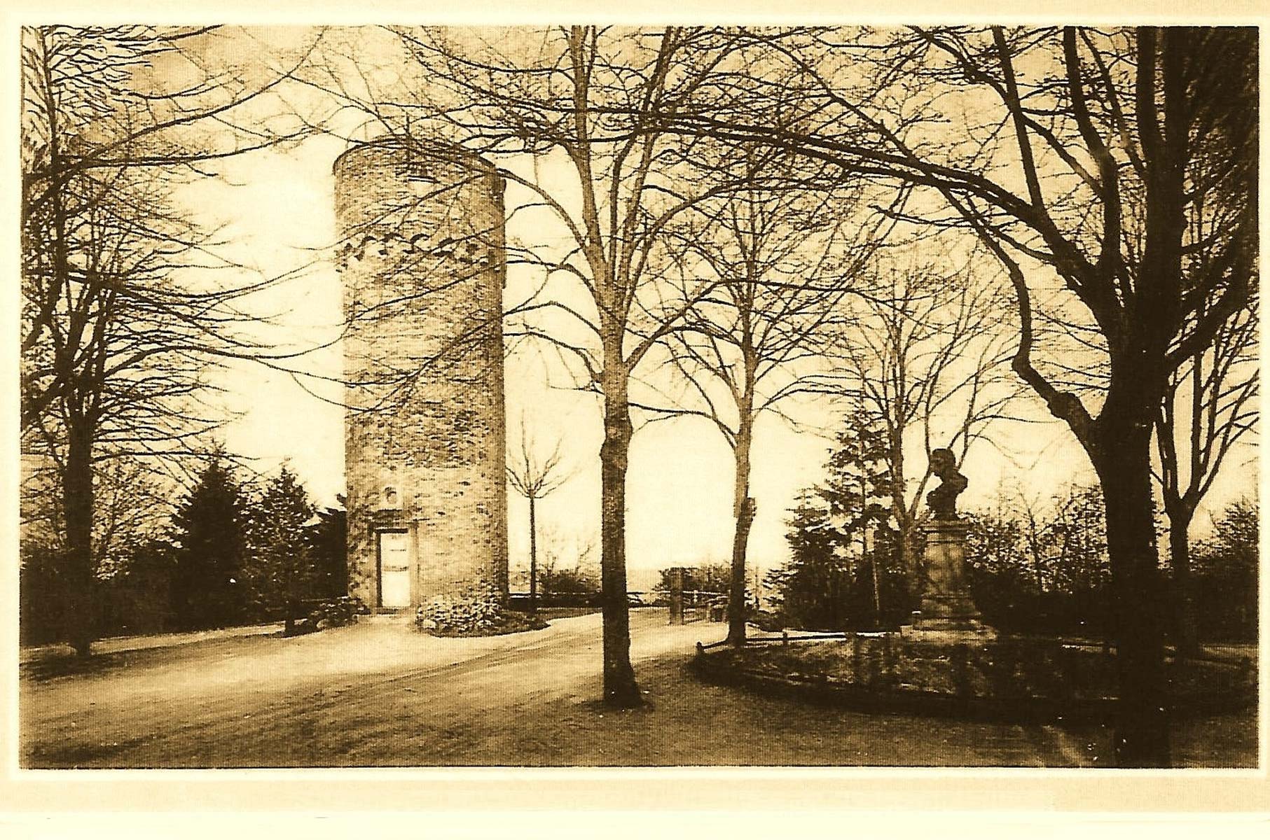
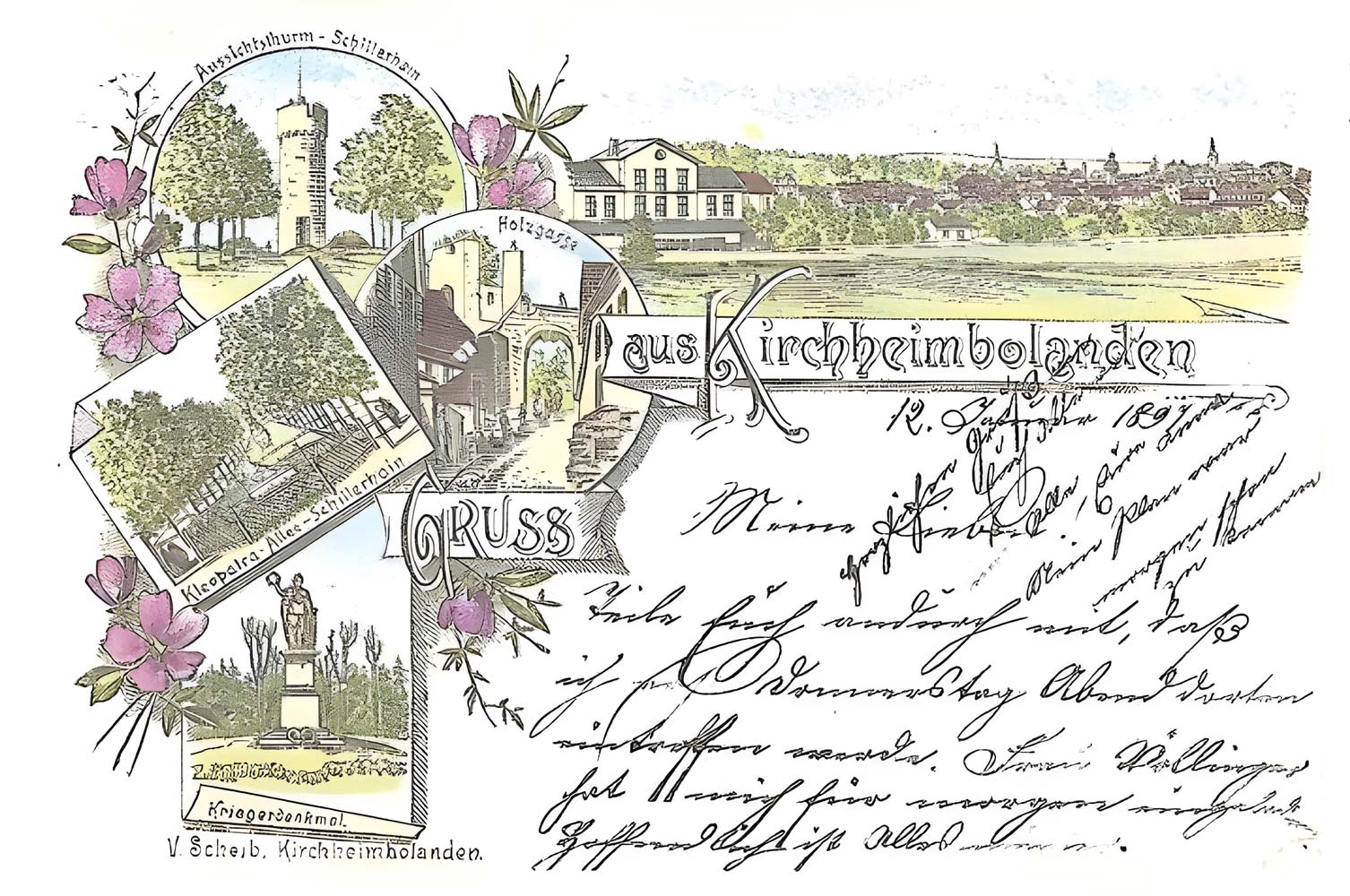
In 1862, the Kirchheimbolander Schillerverein finally gave it the function it still has today: as a place for close and distant geographical observation.
A view map from 1897 already invited you to do so.
The Wartturm can be reached from Schillerstraße via Donnersbergstraße or Dr.-Carl-Glaser-Straße [Standort 15].
“Preparatory school”
The 1860s to 1890s were a time of teacher shortages in the primary school sector. In Prussia alone, there was a shortage of 15,000 teachers. There were also large gaps in the Bavarian Palatinate, so that classes often had more than 80 children.
The preparatory school opened in Kirchheimbolanden in 1866 was therefore intended to help improve the supply of teachers. Preparands were elementary school graduates who were trained in a three-year teaching program for subsequent training at a teacher training college. Preparatory schools and teacher training colleges were closely intertwined. The schools in Kirchheimbolanden, Blieskastel and Speyer were assigned to the “Königlich-bayerischen Schullehrer-Seminar in Speyer”. Their subjects included: religious education (Catholic and Protestant), German language, arithmetic, natural history, history, penmanship, drawing, music (harmony, piano, organ, violin, singing) and gymnastics.
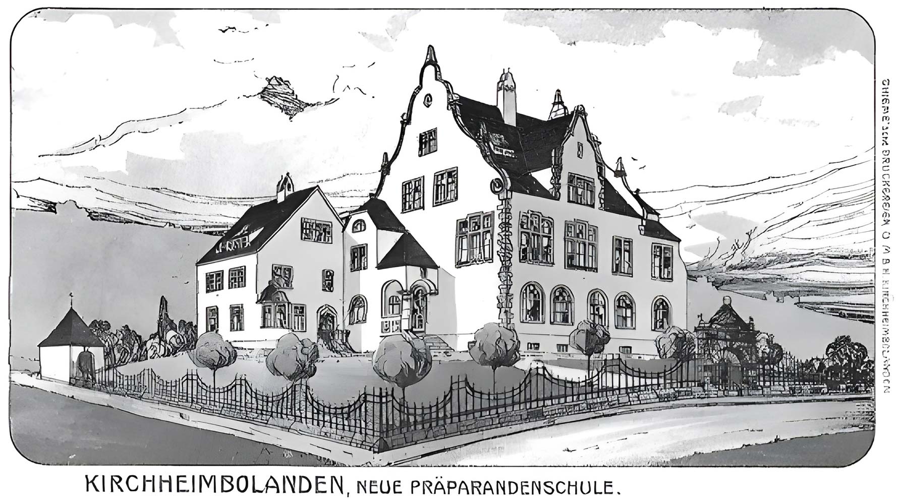
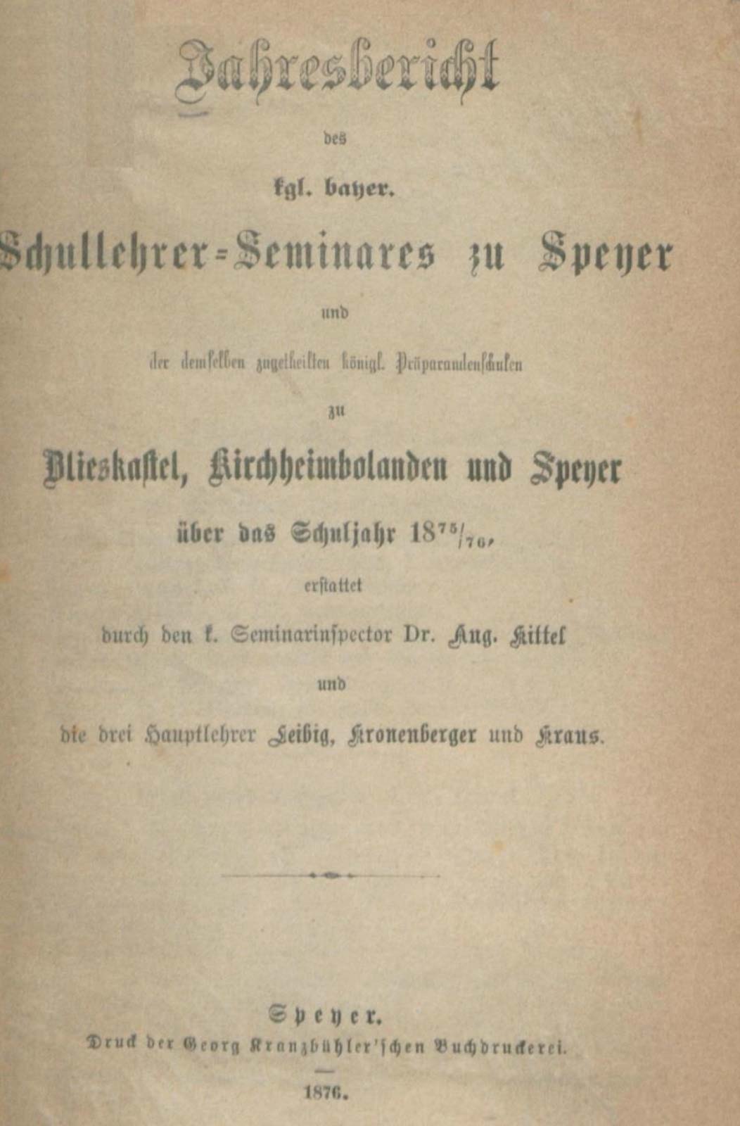
Preparatory school – school teacher seminar 1875
Until the “New Preparatory School” was built in 1905, however, the institution did not have its own building – at times, the preparatory students (56 pupils in the 1874/75 school year) were taught in the ballroom at [Standort 25].
The hospital was then relocated to Kaiserslautern in 1923. The “Bezirkskrankenhaus” (later the district hospital) moved into Schillerstraße 17 until 1956.
Built in 1905, the building complex is characterized in the inventory of art monuments as an “Art Nouveau building inspired by the forms of the Renaissance”.
Today, the building known as the “Karl-Ritter-Schule” – named after the district administrator of the Donnersberg district from 1871-81 – is home to the district adult education center.
“Imperial building boom”
Schillerstrasse was created as a construction project during the imperial era.
Starting with a row of Gründerzeit houses opposite the western apron of the city wall (Schillerstr. 19-37, similar to 14-18), two villas followed in the later Imperial period (Schillerstr. 39, 41), which together with the “Royal Forestry Office” at Dr.-Carl- Glaserstraße 1 [Standort 15] form an Imperial-era ensemble.
This residential development is particularly accentuated by the former preparatory school and the former gymnasium built in 1915 (Schilllerstr. 13).
Schillerstraße, together with the outer suburbs and Bahnhofstraße [Standort 45], thus provides insights into the social spectrum of the imperial era.
